 WebODM
Here's what's new since the last update:
Slope Maps
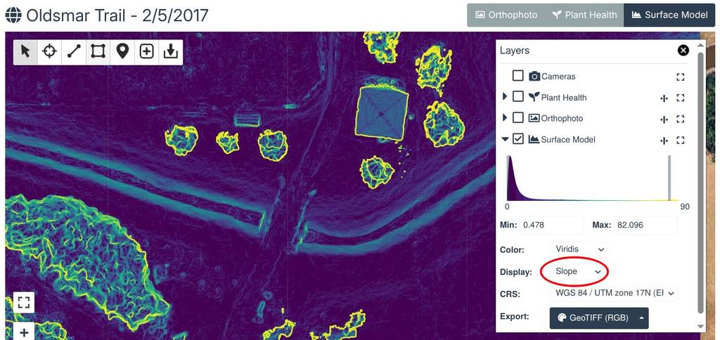
You can now view slope maps for any surface or terrain model. Open the Layers panel, expand the Surface Model or Terrain Model layer and set Display to Slope. Slope maps show terrain steepness in degrees and are useful for drainage analysis, spotting unstable slopes, evaluating landslide risks and much more.
Elevation Profiles from the 2D Map
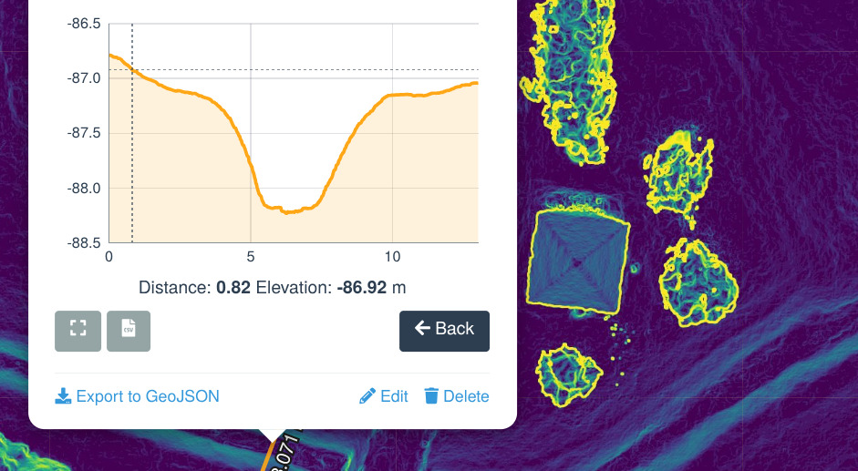
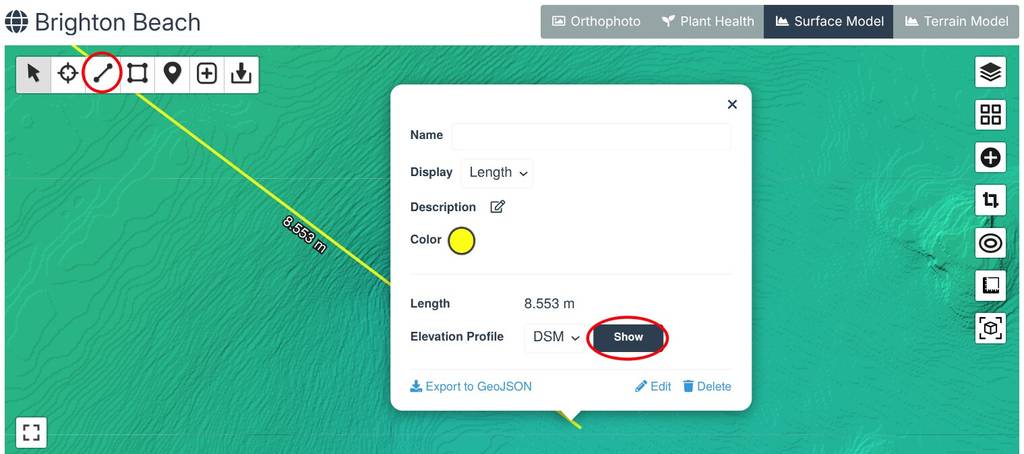
Elevation profiles can now be created directly from the map view. Draw a line, click on it, pick DSM or DTM and press Show.
Editable Annotations
You can now edit annotations from the 2D map to adjust their geometries. Sorry it took so long to implement this. :)
LGT 4.5.0
LGT 4.5.0 is now deployed network wide. The biggest change is a new, adaptive and faster meshing algorithm for generating 3D models. The mesh-octree-depth option is no longer needed and has been removed. Other improvements include:
• Faster processing
• Native support for DJI thermal images, with no preprocessing required. Calibration values can be adjusted with the new options and selecting the new Thermal preset.
• Better frame extraction from video files and support for GPX files.
Cloud Platform Improvements
The cloud platform received a lot of work under the hood: map tiles now render about 30% faster, image thumbnails load up to 10x faster and the software stack has been upgraded and simplified.
Enjoy!
-Piero