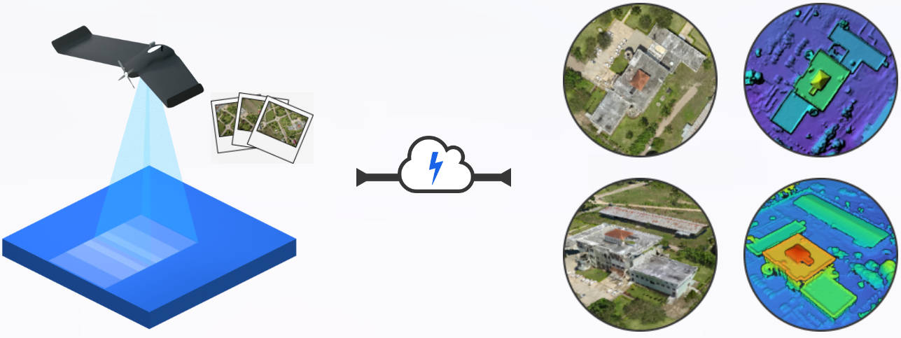
Drone Mapping Platform

Generate professional maps, elevation models, 3D models and point clouds from aerial images.
Drone Aerial Photo 3 Aerial Photo 2 Aerial Photo 1 Photos Pipe Cloud
Map 3D Model DEM Point Cloud
New User?

Sign up and get 150 free credits!

Existing User?

Professional results. Compatible formats. Fraction of the price.

What We Offer

Processing Power

Process up to 3,000 images with GCPs in high resolution.

Professional Results

Our photogrammetry engine includes modern state-of-the-art algorithms.

A Powerful Interface

Access our cloud platform for volume measurements, plant health analysis, DEM contours and more.

Stellar Support

Caring humans ready to listen and answer to your requests.

Free To Try

Then pay as you go or choose an unlimited monthly plan. No commitment.

No Vendor Lock-In

Our infrastructure is powered by open source software. It will always be around.

Used By

Compare The Difference

Pix4D Cloud WebODM Lightning
Up to 2,500 images ✗ Up to 3,000 images ✓
20 projects limit ✗ Unlimited projects ✓
Expensive ✗ Affordable ✓
Closed Source ✗ Open Source ✓