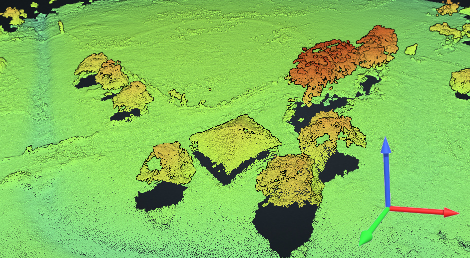
Building upon the work of LGT from last month, which already added support for much improved ground control point accuracy, I'm pleased to announce another large set of improvements, chief of which is the support for using arbitrary coordinate systems. This has been a much requested feature which took a significant amount of time to bring to fruition, but it's finally here! 🎉
Coordinate Systems
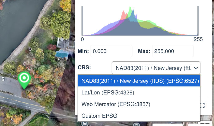
Any new task upload via the cloud platform that includes ground control points will now be automatically processed in the coordinate reference system of the ground control points, for even higher accuracy results. If that is not desirable, or if a ground control point is not available, users can now choose a coordinate reference system by setting the crs option, which includes the option to specify the vertical coordinate system and explicitly set a geoid, which can be useful to compute results in orthometric heights rather than ellipsoidal heights.
Client Side GCP Validation
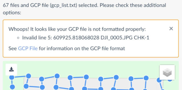
Uploading a task only to find out that a GCP file is not formatted correctly can be frustrating. No more! The cloud platform now includes client side validation that catches mistakes before upload.
Faster Maps
The cloud platform allows easy sharing of maps and models. Speed is crucial. I've improved tile rendering speed by an estimated 10-15%, which means maps will appear quicker and snappier to pan and zoom.
Report Quick Access
A new button from the cloud platform's dashboard allows people to quickly access the PDF report of processing, without needing to download it and open it. This makes it much quicker to glance at results.

Upload Reliability Improvements
Since I've received a few reports of unstable file uploads, I've spent a good amount of time improving the reliability of uploading code and made changes to the network setup which will improve the reliability. Networking is hard! If you notice any issues with file uploads, please get in touch.
Enjoy! And if you're in the U.S. happy thanksgiving.
-Piero