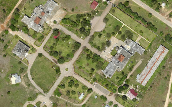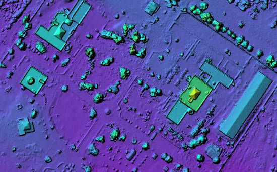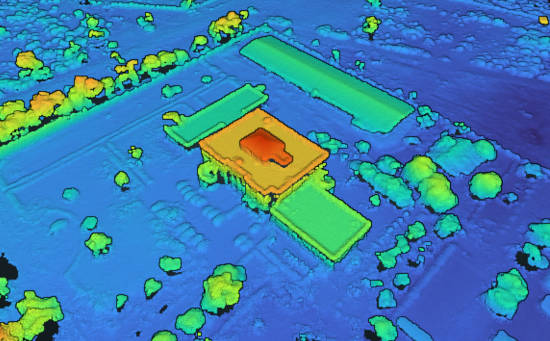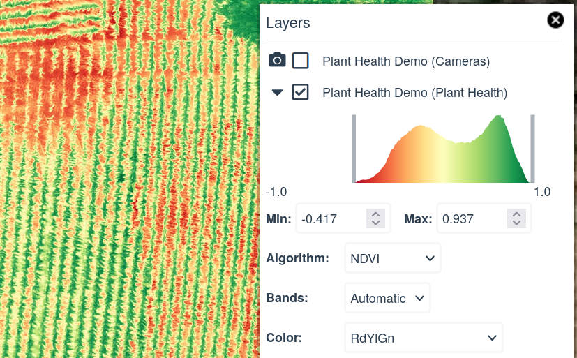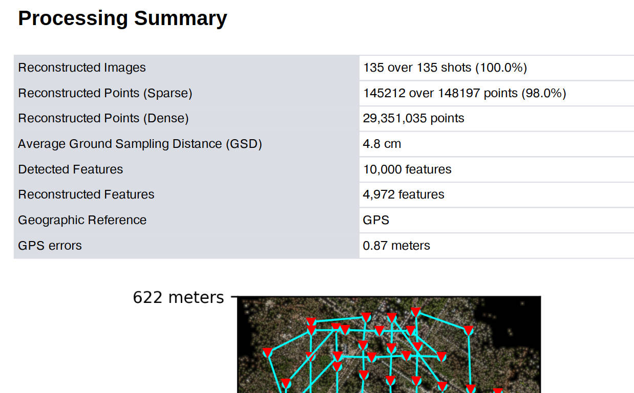
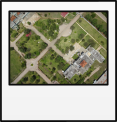


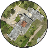

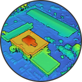
Process up to 3,000 images with GCPs in high resolution.
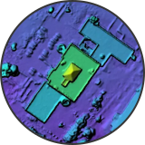
Powered by our state-of-the-art photogrammetry engine.
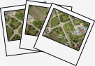
No need to download or install software. Process data from anywhere.
Generate links to share your work.
Then pay as you go or choose an unlimited monthly plan. No commitment.


| WebODM ⚡ | Pix4D Cloud |
|---|---|
| Up to 3,000 images ✅ | Up to 2,500 images ❌ |
| Plans with unlimited projects ✅ | Plans with 1 project included ❌ |
| Pay As You Go option ✅ | Must subscribe to a plan ❌ |
| 1 year plan: $420 ✅ | 1 year plan: $3580 ❌ |
| 30 days money-back guarantee ✅ | No refunds ❌ |